11/14
- Copyright
- Creative Commons (BY-NC-SA)
- Created on
- Sunday 1 February 2009
- Posted on
- Sunday 1 February 2009
- Dimensions
- 1012*944
- File
- flickr-3243985697.jpg
- File size
- 205 KB
- Keywords
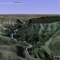
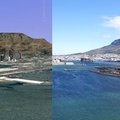
- Cape Town, caves, google earth, hike, Kalk Bay, screenshot, South Africa
- Visits
- 1902
- Rating score
- no rating
- Rate this photo


0 comments
Add a comment